World Travel Reportage
Photos and videos of travel, culture, nature, sports by professional reporters

World Travel Reportage
Everest Base Camp part 5 (Nepal)
Fields near the village of Dingboche (4410 m)
")
Stupa at the entrance of the village of Dingboche (4410 m)
")
Dingboche (4410 m)
")
Yaks in the valley leading to Lobuche (4910 m)
")
Chola Tsho lake (4590 m) in the valley leading to Lobuche
 in the valley leading to Lobuche")
House of a monk on the wall of Mount Nangkar Tshang

Acclimatization. Climb to Mount Nangkar Tshang (5083 m). Compositions of stones along the trail
. Compositions of stones along the trail")
Acclimatization. Climb to Mount Nangkar Tshang (5083 m). The village of Dingboche (4410 m)
. The village of Dingboche (4410 m)")
Acclimatization. Climb to Mount Nangkar Tshang (5083 m). Mount Tabuche and prayers in the wind
. Mount Tabuche and prayers in the wind")
Acclimatization to altitude. A moment of rest (5086 m)
")
The valley to Tengboche view from the top of Mount Nagarjun Peak (5083 m)
")
Kongde (6086 m)
")
The massif of Mount Ama Dablam (6814 m)
")
A dusting of snow on the dark rocks on the base of Mount Ama Dablam (6814 m)
")
One of the glaciers of the massif of Mount Ama Dablam (6814 m)
")
Mount Peak 38 glacier also called Shar Tse (7591 m)
")
Return after acclimatization day at the village of Dingboche

On the path towards the village of Lobuche. Mount Cholatse (6335 m) on the right and Mount Tabuche (6495 m)
 on the right and Mount Tabuche (6495 m)")
The path towards the village of Lobuche. A pasture for yaks

On the path towards the village of Lobuche

Cholatse (6335 m)
")
On the way to the village of Lobuche. Arrival at the village of Thokla (4620 m) for lunch. Behind Mount Labuche East (6090 m)
 for lunch. Behind Mount Labuche East (6090 m)")
The little village of Thokla (4620 m)
")
The little village of Thokla (4620 m)
")
Thokla (4620 m). A parabola concentrates the sun rays on the pot to get hot water
. A parabola concentrates the sun rays on the pot to get hot water")
A caravan of yaks on the ascent to Lobuche

Thokla Pass (4830 m). Memorial Everest
. Memorial Everest")
Kumbu Glacier Valley. From right: Nuptse 7864 m, Khumbutse 6639 m, Lingtren 6713 m, Pumo Ri 7165 m

Towards Lobuche. From right: Nuptse 7864 m, Khumbutse 6639 m, Lingtren 6713 m, Pumo Ri 7165 m

Yaks on the path towards the village of Lobuche (4910 m) in Kumbu Glacier Valley
 in Kumbu Glacier Valley")
Village of Lobuche (4910 m) in the Khumbu Glacier Valley and, on the horizon, the tip of Mount Pumo Ri (7165 m)
 in the Khumbu Glacier Valley and, on the horizon, the tip of Mount Pumo Ri (7165 m)")
On the path to the village of Gorak Shep. On the horizon from right: khumbutse 6639 m, Lingtren 6713 m, Pumo Ri 7165 m

Repose of a Sherpa porter

The steep walls of Mount Nuptse (7864 m)
")
Glacier on Mount Nuptse (7864 m)
")
To the village of Gorak Shep (5140 m). On the left Mount Pumo Ri (7165 m), on the right Mount Lingtren (6713 m)
. On the left Mount Pumo Ri (7165 m), on the right Mount Lingtren (6713 m)")
On the path to the village of Gorak Shep. Few kilometers still to reach the end of the journey

Khumbu Glacier Valley (4920 m)
")
Arrival at the village of Gorak Shep (5140 m) with behind Mount Pumo Ri (7165 m)
 with behind Mount Pumo Ri (7165 m)")
Village of Gorak Shep (5140 m)
")
From right: Nuptse (7864 m), Everest (8848 m) and the pass of Mount Lho La (6026 m) to the Tibet border
, Everest (8848 m) and the pass of Mount Lho La (6026 m) to the Tibet border")
The valley of the Everest Base Camp (5364 m), view from the top of Mount Kala Patthar (5550 m)
, view from the top of Mount Kala Patthar (5550 m)")
Finally on top of Mount Kala Patthar (5550 m) with a view of Mount Everest (8848 m) to the right
 with a view of Mount Everest (8848 m) to the right")
On top of Mount Kala Patthar (5550 m) to see Mount Everest 8848 m on the right). The highest mountain in the world
 to see Mount Everest 8848 m on the right). The highest mountain in the world")
The last path of the journey to the Everest Base Camp

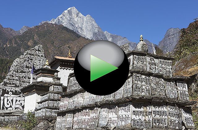
VIDEO LINK
ID: 101
Gorak Shep on Google Maps.
This fifth reportage, concludes the journey in Nepal on the trek to Everest Base Camp, a 12 day trip in a context of woods, monasteries, mountains and glaciers. From Lukla (2840 m) along a path with some days of acclimatization from Namche Bazaar (3440 m), Tengboche (3860 m), Dinghboche (4410 m), Gorak Shep (5140 m), until to reach the summit of Kala Patthar (5550 m) from which you are in front of the imposing and spectacular Mount Everest, the highest mountain in the world. No bus, car, motorbike, bicycle, a trakking that is a jump in the past to move only by foot. Just a good physical fitness, a good workout in the mountains and a good willpower to see one of the 10 destinations that definitely worth seeing in the life. An unforgettable journey that will remain forever in the mind and in the heart.
Link for more informations:
www.viaggiaconcarlo.com
Copyright 2022 by Carlo Piccinelli - All right reserved
Privacy, Terms of use and Legal Warning
Hosted by colorit.net